Field notes
River lore & a little history.
Where the water comes from, who divided it, and what we protect.
From Powell's boats to the gauge on your phone.
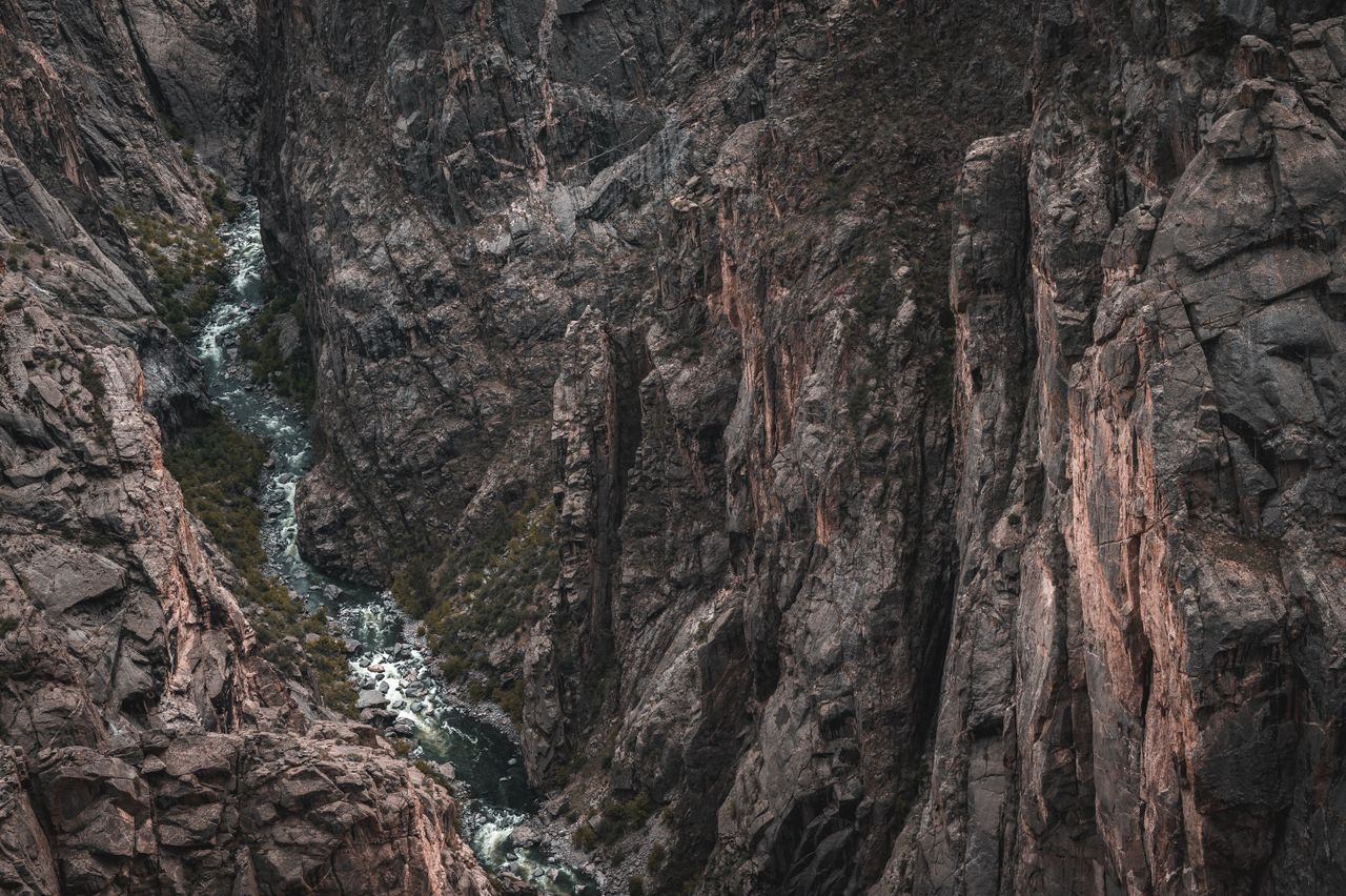
Charting the canyons
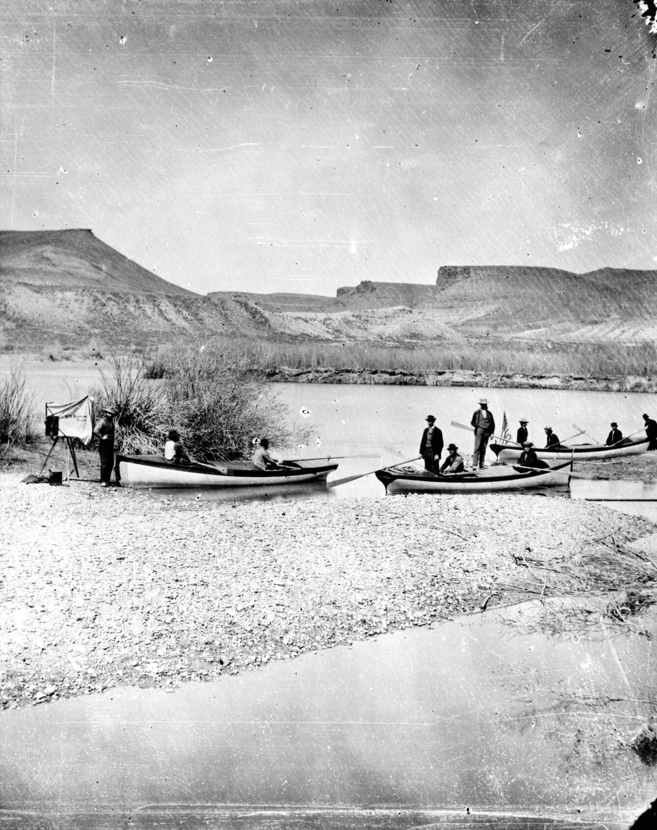
On May 24, 1869, a one-armed Civil War veteran named John Wesley Powell launched four wooden dories from Green River Station in Wyoming. No survey had mapped what lay downstream. No one had run these canyons and lived to publish the coordinates.
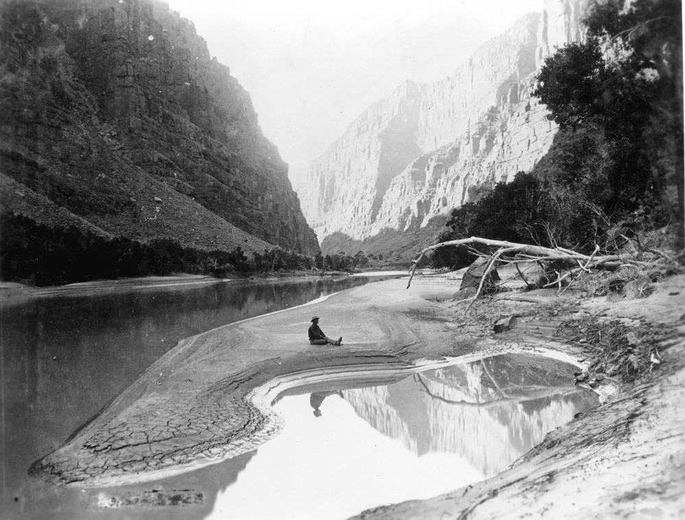
Three months and nearly 1,000 miles later, the crew emerged having documented a river system entirely unknown to American science. Powell named landmarks as he went: the Canyon of Lodore, the Canyon of Desolation, Bowknot Bend -- a meander so extreme it doubles back on itself and still bears his name today.
"The river and its tributaries are set in deep canyons, while the mountains stand above them in magnificent relief."
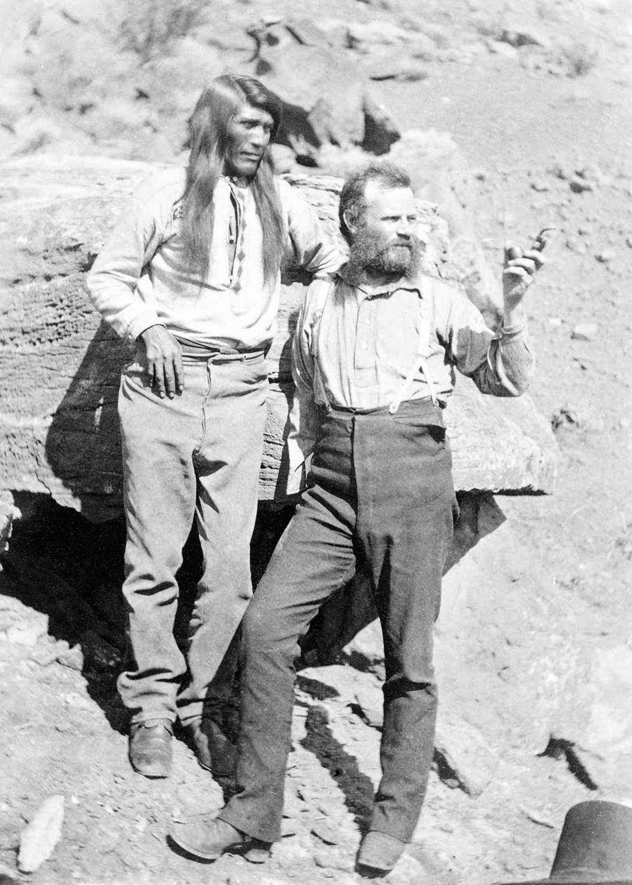
Worth stating plainly: Powell was not discovering these rivers. The Ute, Paiute, Navajo, Hopi, and dozens of other Indigenous peoples had traveled, fished, and built civilizations along these waterways for centuries. What Powell produced was the first systematic scientific survey recognized by the U.S. government. A document, not a discovery.
The water becomes law
Half a century after Powell, the river stopped being a geographic fact and became a legal one. The Colorado River Compact of 1922 divided the basin between seven states: Colorado, Utah, Wyoming, and New Mexico in the Upper Basin; Arizona, Nevada, and California in the Lower. Each share was calculated from flow estimates taken during an unusually wet stretch of years.
Those estimates proved too generous by as much as 20 percent. Every major Colorado tributary -- the Yampa, the Gunnison, the San Juan -- now operates under that century-old math. Modern water managers call it structural over-allocation. Drought and warming temperatures have not made the problem easier.
The river economy
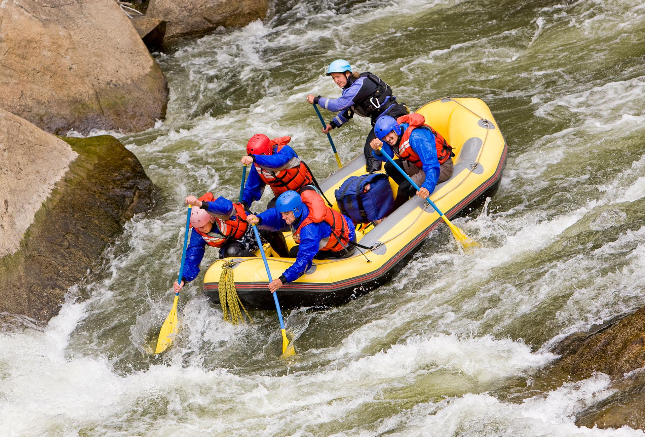
The modern era added a chapter Powell never anticipated. In 2015, Browns Canyon National Monument was designated, protecting 21,500 acres along the Arkansas River between Buena Vista and Salida. The designation recognized what commercial outfitters already knew: the Arkansas had quietly become the most visited whitewater river in the United States.
Hundreds of thousands of float trips run its named sections every season -- Browns Canyon, the Numbers, Royal Gorge, Bighorn Sheep Canyon. The same water that irrigates the valley floor also floats the raft. Colorado's rivers now power a recreation economy worth billions, a reality that would have baffled the survey crews of 1869.
What the gauges see
Powell had no way of knowing what waited around the next bend. Today, more than 8,000 gauges operated by the United States Geological Survey monitor river levels continuously across the country. Most update every 15 minutes. Every reading on this page -- flow in cubic feet per second, stage height, water temperature -- comes from instruments Powell would have traded everything to have.
The gauges don't change the river. They just make it legible.